AI has become a core part of modern wildlife conservation. Analyzing camera-trap images and satellite data at a scale no research team could review manually, tracking animal movements, flagging poaching activity, and predicting population trends. This guide covers what AI actually does in conservation work and the platforms worth knowing, from citizen-science tools anyone can use to research-grade systems built for protected-area rangers and biologists.
How AI Is Used in Wildlife Conservation
The core applications cluster into four areas. Wildlife monitoring and tracking uses computer vision on camera-trap and drone footage to identify individual animals and species, often via photo-ID matching on natural markings. Habitat monitoring and mapping applies AI to satellite and aerial imagery to track deforestation, land-use change, and habitat loss over time. Illegal wildlife trade detection uses pattern recognition to flag poaching activity and predict where patrols are most needed, including game-theoretic systems that model where poachers are likely to strike next. And species conservation and management tools support genetic research, population modeling, and resource-allocation decisions for conservation organizations working with limited budgets and staff.
Vision AI and the Benefits of AI in Conservation
Computer vision specifically has been transformative here. Identifying individual animals from camera-trap photos by coat pattern or fin shape, counting populations from aerial and satellite imagery, and flagging anomalies (an unfamiliar vehicle, a person where none should be) that indicate a threat. The practical benefits follow directly: monitoring and tracking that would take field teams months happens continuously and automatically, data analysis surfaces patterns across datasets too large for manual review, and limited ranger and conservation budgets get allocated to where the data says the actual threats are, rather than spread evenly across a protected area.
AI tools for wildlife conservation
Wildbook
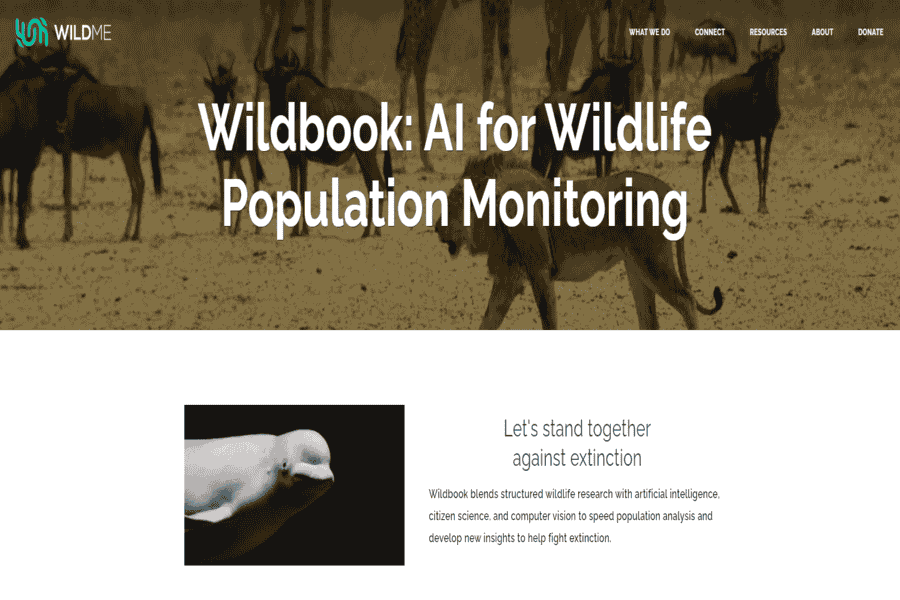
Wildbook combines computer vision and machine learning to identify and track individual animals, aiding conservation efforts through citizen science and automated wildlife monitoring.
Pros:
- Accurate individual animal recognition.
- Community-driven data collection.
- Supports endangered species conservation.
Cons:
- Limited to supported species.
- Relies on high-quality images for accuracy.
Pricing Package:
Free for conservationists.
EarthRanger
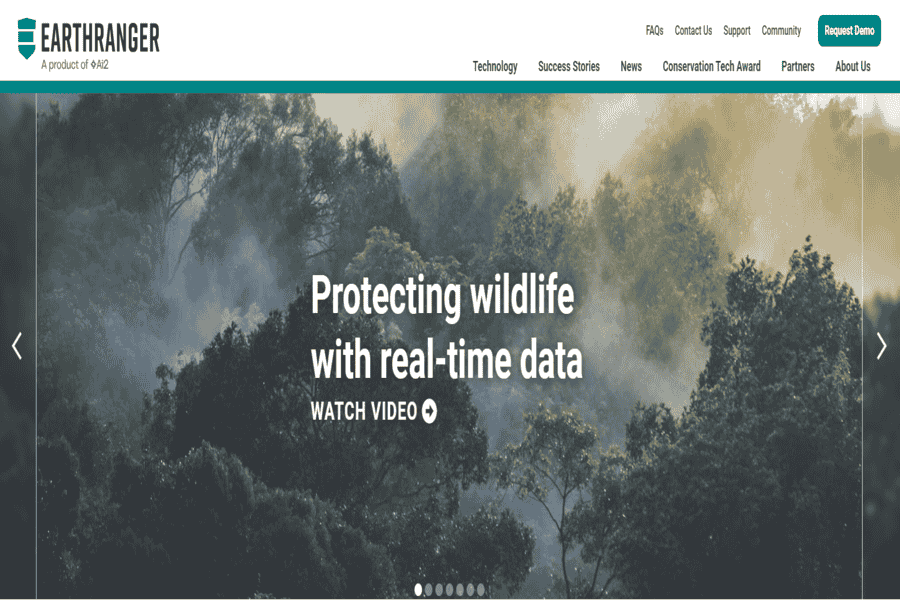
A real-time software platform for protected area management that integrates data on wildlife tracking, human activity, and environmental factors.
Pros:
- Centralized data for easy monitoring.
- Supports anti-poaching efforts.
- Scalable for various conservation areas.
Cons:
- Requires training for effective use.
- Dependence on continuous data input.
Pricing Package:
Customized pricing based on deployment.
Zooniverse
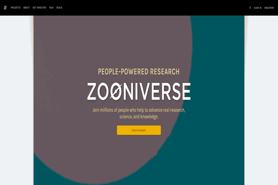
A citizen science platform where volunteers help analyze camera trap data, supporting ecological research through AI-driven workflows.
Pros:
- Uses public participation.
- Large dataset analysis capacity.
- Easy to integrate AI features.
Cons:
- Crowdsourcing may lead to inconsistent data.
- Limited real-time capabilities.
Pricing Package:
Free to use.
PAWS (Protection Assistant for Wildlife Security)
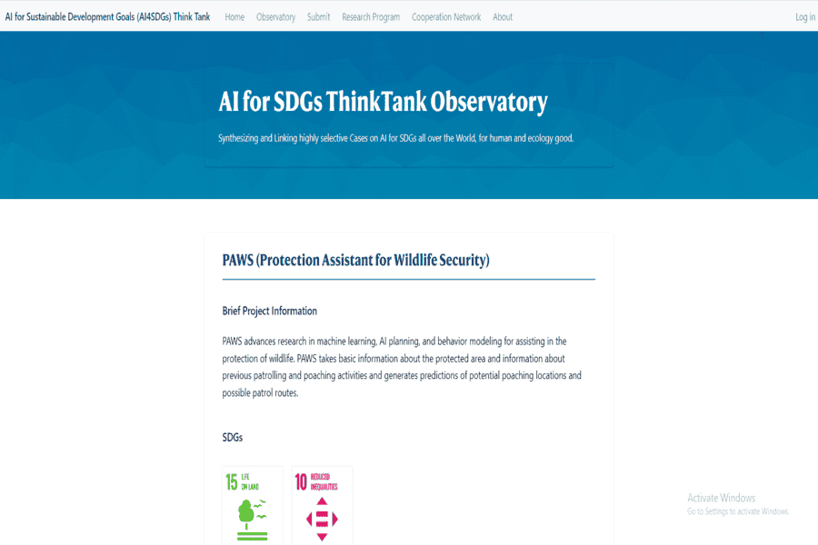
AI tool for predicting poaching hotspots using historical data, aiding rangers in proactive patrolling.
Pros:
- Data-driven predictions improve patrol efficiency.
- Integrates smoothly with existing patrol systems.
Cons:
- Needs reliable historical data.
- Limited coverage outside modeled areas.
Pricing Package:
Contact for pricing.
Google AI for Social Good: Wildlife Insights
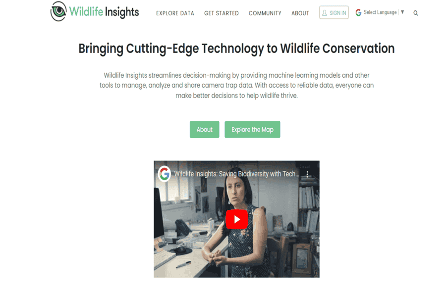
Uses Google AI to analyze camera trap images and identify species, automating data processing for conservation projects.
Pros:
- Automates species identification.
- Cloud-based data storage and analysis.
Cons:
- Requires high-resolution camera traps.
- Subscription-based storage.
Pricing Package:
Free for basic use; contact for premium plans.
Global Forest Watch
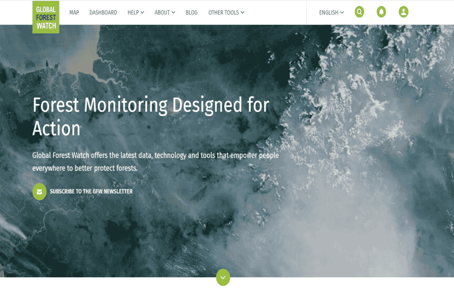
Monitors forest cover changes using satellite imagery and AI, helping combat deforestation and habitat loss.
Pros:
- Free and open-access data.
- Real-time alerts.
Cons:
- Focused primarily on forests.
- Data may require interpretation for wildlife-specific applications.
Pricing Package:
Free.
SMART (Spatial Monitoring and Reporting Tool)
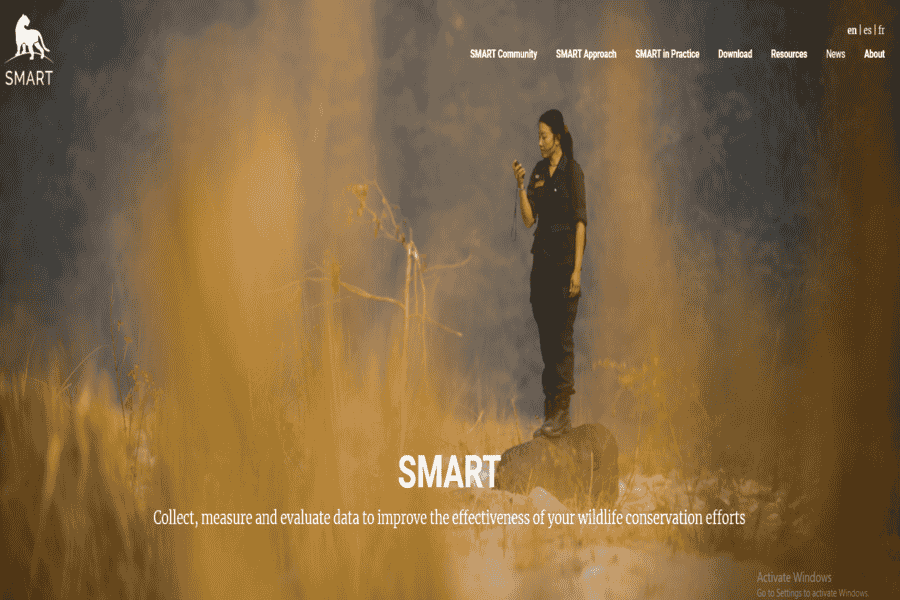
Tracks wildlife and human activity, enabling conservation managers to make informed decisions.
Pros:
- Community-focused conservation tool.
- Customizable for specific areas.
Cons:
- Requires training for optimal use.
Pricing Package:
Free and open-source.
Rainforest Connection (RFCx)
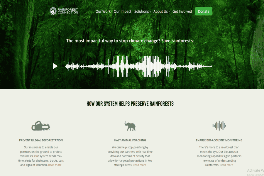
It uses acoustic sensors and AI to monitor wildlife sounds and detect illegal logging in real time.
Pros:
- Non-invasive monitoring.
- Detects biodiversity changes.
Cons:
- Limited coverage per device.
- High initial setup cost.
Pricing Package:
Contact for details.
DeepMind AlphaFold for Conservation

AI-powered protein structure prediction tool aiding genetic conservation efforts for endangered species.
Pros:
- It helps understand species genetics.
- Accelerates research.
Cons:
- Primarily suited for research institutions.
Pricing Package:
Free for academic use.
Wildlife Drones
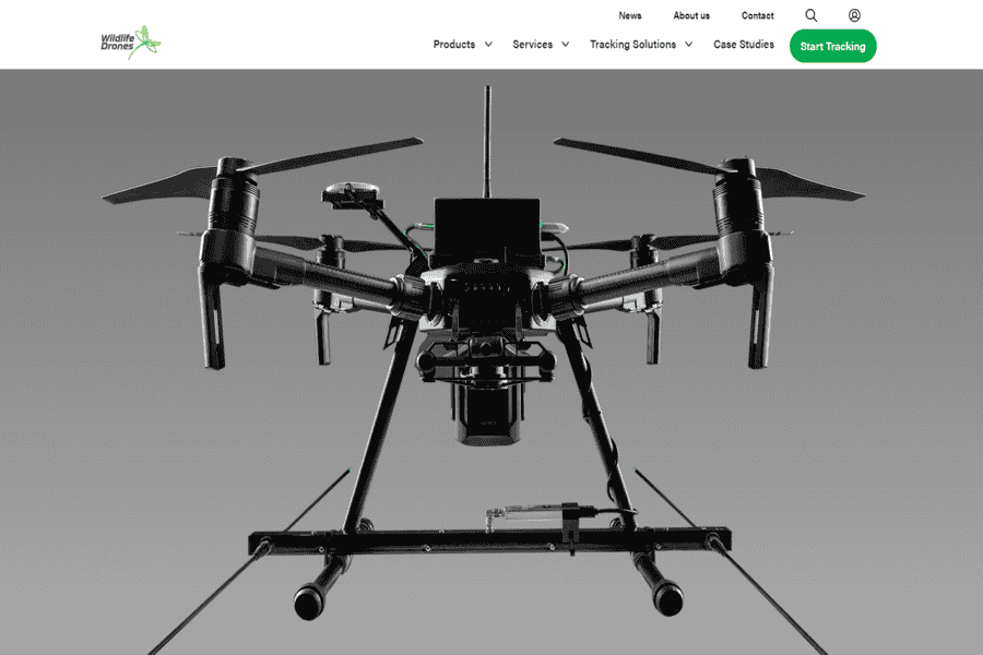
Combines drone technology and AI to track tagged animals in difficult terrains.
Pros:
- Real-time tracking over large areas.
- Reduces manual tracking effort.
Cons:
- Expensive hardware.
Pricing Package:
Contact for pricing.
EBird by Cornell Lab of Ornithology
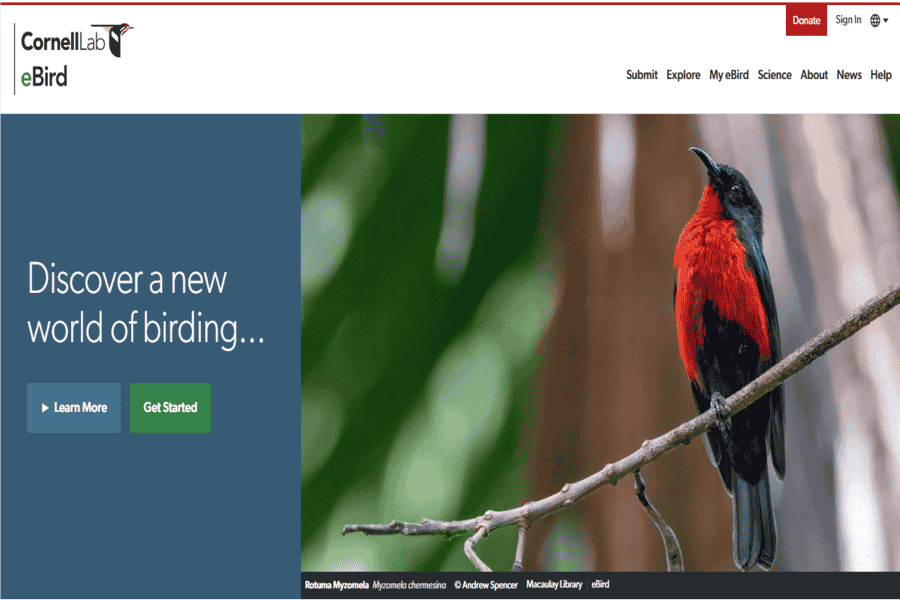
An AI-powered platform that collects bird observations from citizen scientists, helping track bird populations and migration patterns.
Pros:
- Extensive global database.
- User-friendly mobile app.
- AI-driven bird identification.
Cons:
- It relies on user input, which can vary in accuracy.
- We are focused primarily on birds.
Pricing Package:
Free.
DroneDeploy
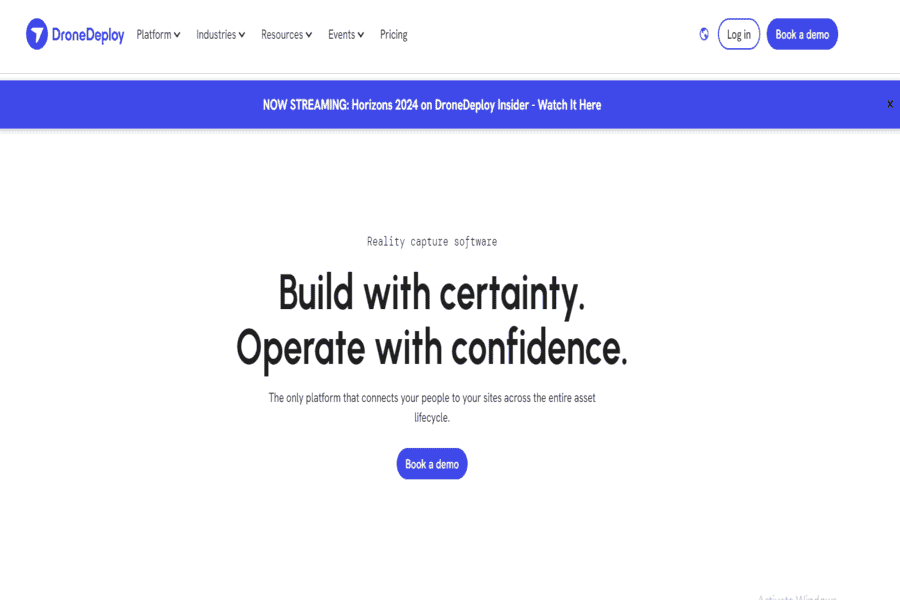
An AI-enabled drone platform that captures and analyzes high-resolution imagery, aiding habitat mapping and monitoring.
Pros:
- Easy-to-use interface.
- Generates detailed habitat maps.
- Real-time insights.
Cons:
- Requires drone hardware.
- Subscription for advanced features.
Pricing Package:
Starts at $99/month.
TrapTagger
AI tool that automates the analysis of camera trap images, identifying animals, and filtering irrelevant data.
Pros:
- Saves time in image processing.
- High accuracy in species identification.
Cons:
- Limited to supported species.
- It may require a subscription.
Pricing Package:
Contact for pricing.
Microsoft AI for Earth

Provides AI tools and grants for environmental projects, including wildlife conservation initiatives.
Pros:
- Access to powerful AI tools.
- Financial and technical support.
Cons:
- Requires grant application for full access.
Pricing Package:
Tools are free; a grant application is required for support.
WildTrack
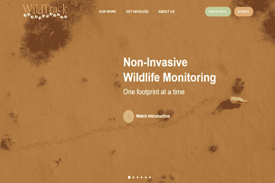
Uses AI to analyze footprints for species identification, aiding non-invasive wildlife monitoring.
Pros:
- Non-invasive technique.
- Works for various species.
Cons:
- Requires training to collect accurate footprint data.
Pricing Package:
Contact for pricing.
EcoBots
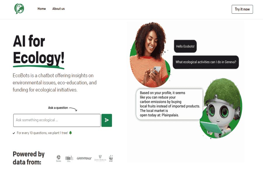
AI-powered bots that analyze biodiversity data and predict ecosystem changes.
Pros:
- Advanced ecosystem modeling.
- Supports proactive conservation strategies.
Cons:
Requires detailed input data for accuracy.
Pricing Package:
Custom pricing based on project needs.
Conservation Metrics
Wildlife monitoring company using passive acoustic monitoring and camera traps, with machine learning applied to the data pipeline. Replaces WildSense in this list, whose original domain has since been repurposed as an unrelated content site.
Pros:
- Active across 24 countries with a strong institutional and Indigenous-guardianship track record.
- Handles the full data lifecycle, not just collection.
Cons:
- Service-based engagement rather than self-serve software.
Pricing Package:
Contact for pricing.
WWF-SIGHT (Spatial Monitoring Tool)
Combines geospatial data and AI to track and predict threats to wildlife habitats, focusing on human-wildlife conflict zones.
Pros:
- Real-time monitoring capabilities.
- Comprehensive threat analysis.
Cons:
- Requires expertise to interpret data.
Pricing Package:
Contact for details.
Conservation X Labs Sentinel
Edge-AI device that retrofits existing camera traps. Replaces “Ai.Maps” in this list, a domain that now belongs to an unrelated labor-market research project, not a wildlife tool. Sentinel processes photos and video on-device, identifies species and threats in near real time, and sends alerts over satellite, cellular, or LoRa without needing constant connectivity.
Pros:
- On-device processing works in remote areas with no reliable connectivity.
- Integrates directly with EarthRanger, already in this list.
Cons:
- Requires compatible camera-trap hardware to retrofit.
Pricing Package:
Contact for pricing.
BirdNET by Cornell Lab
Uses AI to identify bird species from audio recordings, enabling researchers to monitor biodiversity and detect species remotely without disturbing them.
Pros:
- Highly sensitive to acoustic data.
- Supports non-invasive research.
Cons:
- Covers bird species specifically, not wildlife audio in general.
Pricing Package:
Free, open-source.
Challenges and Drawbacks of AI in Wildlife Conservation
These tools have real limits. Output quality depends entirely on training data and sensor coverage. A species or region underrepresented in the data gets worse results, which matters in a field where the best data often comes from well-funded reserves rather than the areas most in need of monitoring. Compute and connectivity costs are real barriers in the remote areas where most conservation work actually happens, which is part of why edge-AI devices that process data on-site rather than needing constant cloud connectivity (like Sentinel, above) are gaining ground. Ethical questions around surveillance, camera and drone footage that captures people as well as wildlife, in areas with active human-wildlife conflict, need real governance, not just good intentions. And running these systems well takes technical expertise that many conservation organizations, especially smaller or community-run ones, don’t have in-house.
Where This Is Headed
The clearest near-term direction is real-time monitoring and early-warning systems. Catching a poaching incursion or a human-wildlife conflict situation as it develops rather than reviewing footage after the fact, which is exactly what edge-AI devices and satellite-linked alerts are built for. Citizen science keeps expanding too: platforms like Zooniverse and eBird turn ordinary observers into a distributed data-collection network at a scale no funded research program could match on its own. None of this replaces field rangers and biologists, it changes how much ground a limited team can actually cover.
The tools above split roughly into three groups: citizen-science and public platforms (Zooniverse, eBird, BirdNET) anyone can contribute to; institutional and research-grade systems (Wildbook, EarthRanger, SMART, Global Forest Watch, Wildlife Insights) built for protected-area management at scale; and specialized hardware-plus-AI systems (Wildlife Drones, TrapTagger, Sentinel, RFCx) for a specific monitoring problem. Match the tool to the actual constraint. Connectivity, budget, species, or terrain, and expect these systems to extend what field teams can cover, not replace the rangers and biologists doing the work on the ground.