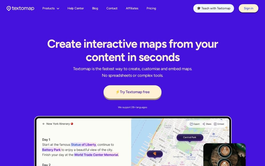
Textomap turns text into interactive maps. Paste an article, an itinerary or a list of places – or point it at an image, a website or a data file – and it extracts the locations and plots them.
The gap it fills is a familiar annoyance. Places arrive as prose constantly – a travel article, a conference agenda, a friend’s list of recommendations – and turning that into something you can look at spatially has always meant copying each name into a mapping tool one by one. Nobody does it, so the geography of the information stays invisible, even though it is often the most useful thing about it.
Accepting images and web pages as input, not just typed text, covers how these lists actually reach you. Expect to correct the results: place names are genuinely ambiguous, and any extractor will confidently put the wrong Springfield on the map – so check the pins before sharing a map with anyone relying on it.