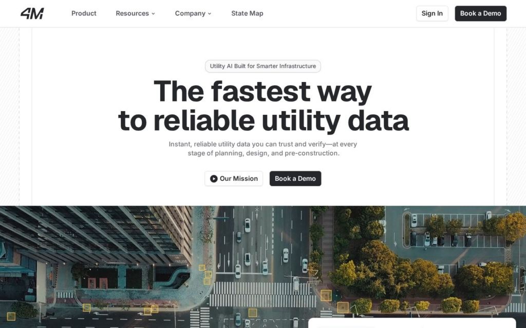
4M Analytics is a utility-mapping company founded in 2019 and headquartered in Austin, Texas. The company built an AI platform that consolidates public utility records, legacy blueprints, satellite imagery, and object-detection models into a single map of underground infrastructure across the United States.
Rather than sending crews to physically locate buried lines, 4M's machine-learning models analyze aerial and satellite imagery alongside historical records to detect water lines, electric cables, gas pipelines, and telecom conduits, with geospatial experts verifying each data point before it reaches a customer. A feature called Road Marks reads historic locator spray-paint marks from street-level imagery to cross-check where utilities were previously flagged, supporting damage-prevention and quality-control workflows.
The platform serves civil engineers, general contractors, utility owners, and government transportation departments (the Alabama Department of Transportation is a disclosed customer) planning construction or infrastructure projects where hitting an unmapped line causes delays or safety incidents. 4M doesn't publish pricing, engagements are scoped per project through a demo request, consistent with how comparable infrastructure-data vendors sell.