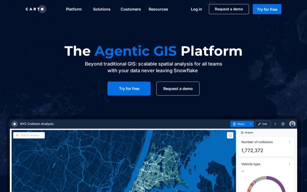
CARTO is a geographic information system built to run on a company’s own cloud data warehouse. Spatial data stays in BigQuery, Snowflake, Redshift, Databricks, Azure or Oracle, and CARTO runs its maps and analysis there. It is used by data analysts, data scientists, GIS specialists and developers in government, retail, telecoms, insurance, real estate and logistics.
The company now calls it the Agentic GIS Platform. AI Agents let people who are not GIS specialists ask questions and get spatial insights in plain language, and maps can be created and used through natural language. The agents are described as enterprise-grade, working with the customer’s own models, endpoints and cloud, and a CARTO for Agents option connects the platform to outside AI agents and models. The analytics side has more than 100 ready-made analysis components and native machine learning and AI integrations, alongside tools for visualization, app development and data enrichment.
CARTO has a free 30-day trial with access to all components, demo datasets and a hosted data warehouse; the trial is for evaluation and not production use. The pricing page shows no dollar figures. Plans are committed tiers sold by quote, with usage quotas and spend alerts managed from the dashboard.